The O'Malley Prairies
About the Grounds
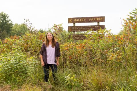
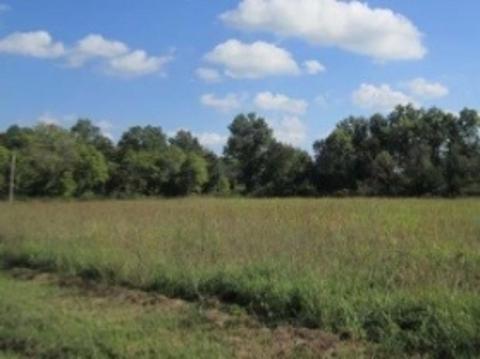
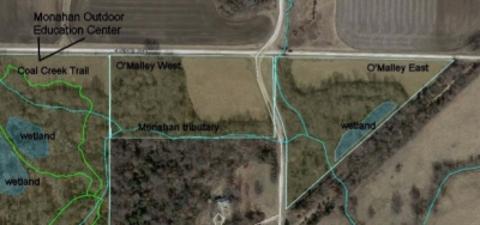
The O’Malley properties are two small parcels of land near the Monahan Outdoor Education Center. Both contain postage stamp prairies that are botanically diverse for their size, as well as adjacent to woodlands.
O’Malley West is next to the eastern edge of the Monahan Outdoor Education Center, also managed by the Department of Biology. The unnamed tributary that leaves the Monahan skirts the southern edge of the west O’Malley woodland.
O’Malley East is a triangular property that abuts two county roads and an abandoned railroad line. A small wooded wetland is located next to the rail line.
Acquisition
In 1990, the O'Malley family (brother and sister) from Weir, KS, agreed to let the Department of Biology access the grasslands on the property for educational purposes, and the O'Malley's would mow them yearly for hay. On September 22, 2016, the property – grassland and woodland - was given to Pittsburg State University by the descendants of Mary Elizabeth O’Malley and her brother, Charles David O’Malley.
Usage
These properties have been used by various field biology courses for identifying or collecting plants and invertebrates. The small wetland on the east prairie has been sampled for chemical water quality.
Management
There is no active management plan at this time. The parcels have been intermittently mowed or burned over the years.
Publications
1992. Timme, Stephen. O'Malley Prairie. pp. 29-32 in: J. Arruda (ed), Kansas Academy of Science Multidisciplinary Guidebook 6. Fall Field Trip to the Natural Areas of Southeast Kansas. Kansas Geological Survey Open-File Report 92-22. 91 pp.
